


- Joined
- Nov 5, 2015
- Messages
- 67
- Reaction score
- 5
- Age
- 45
Hivemapper-building-heights-heatmap
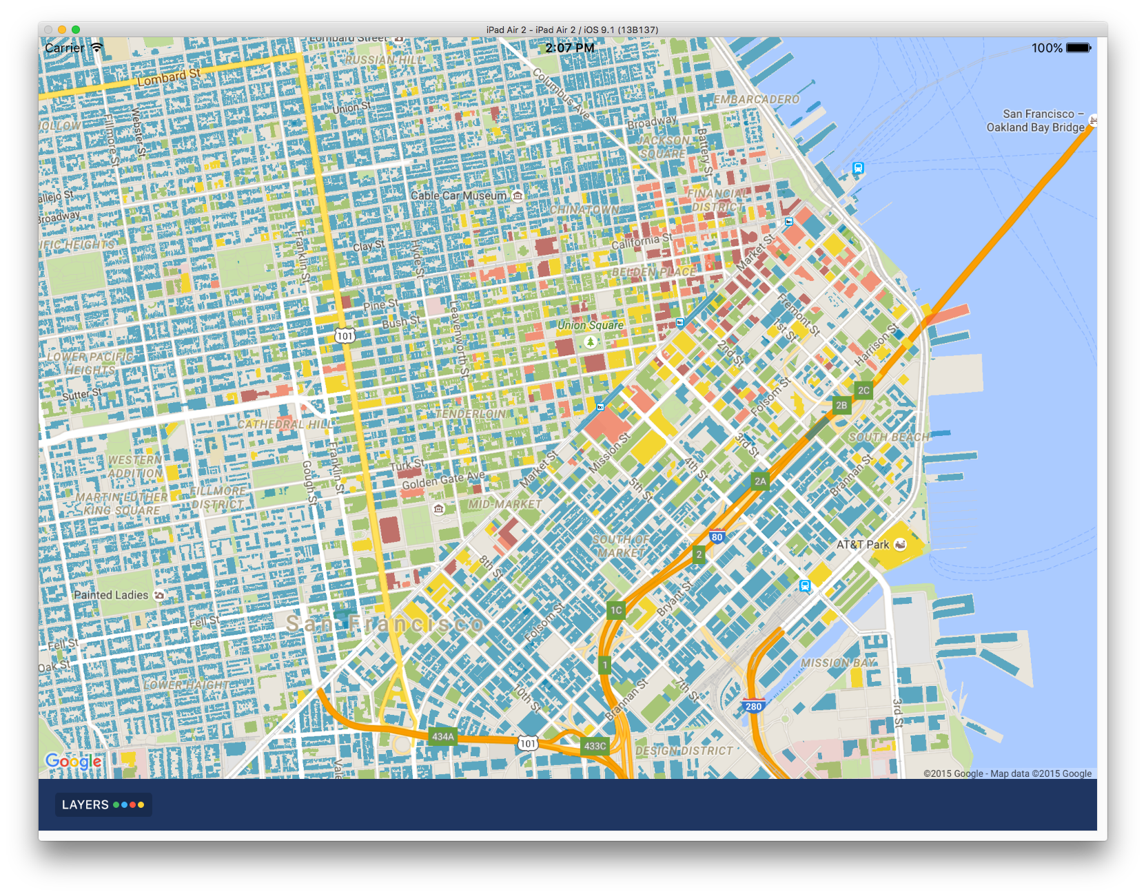
A possibly different UI for displaying Hivemapper's building heights
Lots of people like that fact that Hivemapper has over 10 million building heights and counting
")
What they and frankly we don't like is that it the user experiences requires somebody to process lots of information as for each building we currently display its height, so you have to process lots of bits of information to see what the tallest building in the area is.
We are experimenting with a different approach -- a heat map for the building heights like you see above. Red is taller and blue is shorter.
Any quick thoughts?


