


- Joined
- Nov 5, 2015
- Messages
- 67
- Reaction score
- 5
- Age
- 45
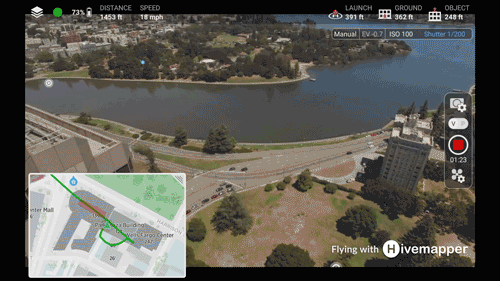
What is it?
- Objects taller than your drone are painted in red - see sidemap.
- 3D objects includes everything from trees, antenna, buildings, etc. at centimeter level accuracy. Note the metal spikes coming out of the egg shaped building. Even those are included
")
- Currently supported metro areas include SF Bay Area and Tampa Bay (FL). Additional metros coming soon.
- This is a beta version and requires a device with at least 2GB RAM
- How does it know if the objects are taller than your drone? We know your true height above ground and we also have a 3D map of all objects at centimeter level precision so we can determine if your drone is above or below an object.
- Hivemapper is a free Go app alternative available for Android (link to download). The vast majority of photos and video features available in the Go App are supported in Hivemapper
- Yes, all the essential status information IMU, Compass, connection strength, etc.
- iOS is not yet available, if you would like to join the beta program, please sign up.
Last edited:


