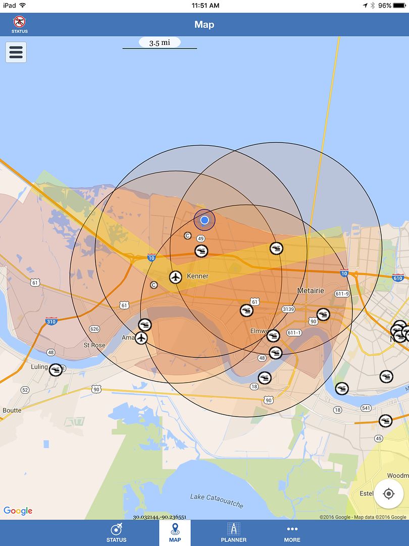
I think it's an overflight corridor for KMSY. Not quite sure how to interpret it but I think it's Class B from the surface up to 2,000. That airspace is above my pay grade.
You are partially correct. It is a flyway through class B airspace requiring either New Orleans tower clearance or New Orleans approach control clearance. It has a block altitude of 1000 to 2000 feet. Also, a 7 mile diameter ring from KMSY exists with limits from surface to 7000 feet. The class B airspace expands outward from there as usual.
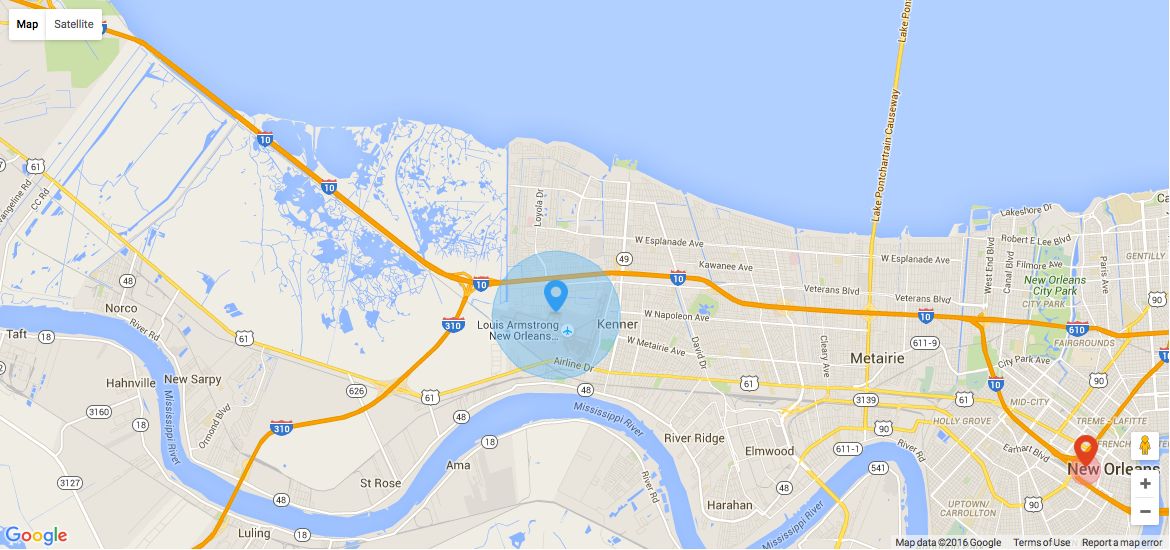
Go to airnav.com and under airports type in KMSY for a detailed aeronautical chart of this area. Hope this helps.
You are welcome. Most tower controllers are good people. Some, but very few, are control freaks. I would contact the local tower(s) in your preferred flight area and inform them of what your intentions are. Like where you will be, the radius of your flights, and your maximum altitude. Most controllers are ok with you flying in class B airspace IF they know you are there, and know your intentions. Some will ask you to let them know when you are done flying so there are no issues. As long as you aren't too high (400' or less) they should be ok with it. Give it a try.
This site uses cookies to help personalise content, tailor your experience and to keep you logged in if you register.
By continuing to use this site, you are consenting to our use of cookies.