- Joined
- Apr 13, 2017
- Messages
- 10
- Reaction score
- 6
- Age
- 35
Hi all,
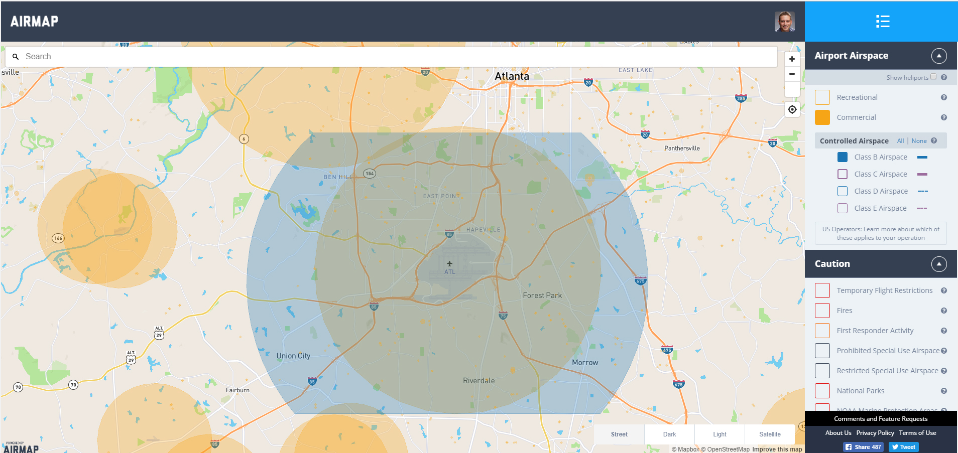
I've been researching flying in a few big cities around the USA and have been studying AirMap.io to figure out what's possible. I noticed that selecting the "Commercial" toggle button shows the limits around airports clearly, but selecting the airport Class shows a larger radius around the airport.
Mousing over "Commercial" says that it's indicating areas where commercial drone operators need authorization to fly in. Seems like that's the airspace distinction.
So why would the Airspace Class radius be larger than that? As a Part 107 flyer conducting commercial drone operations, I'm confused about which one is the true legal boundary. Is Commercial an older distinction from 333?
Thanks!